|
|
||||
|
|||||
| Route |


|
| Time |

|
![]() Description
Deutsch
(German)
Description
Deutsch
(German)
| Energie, Informationen und
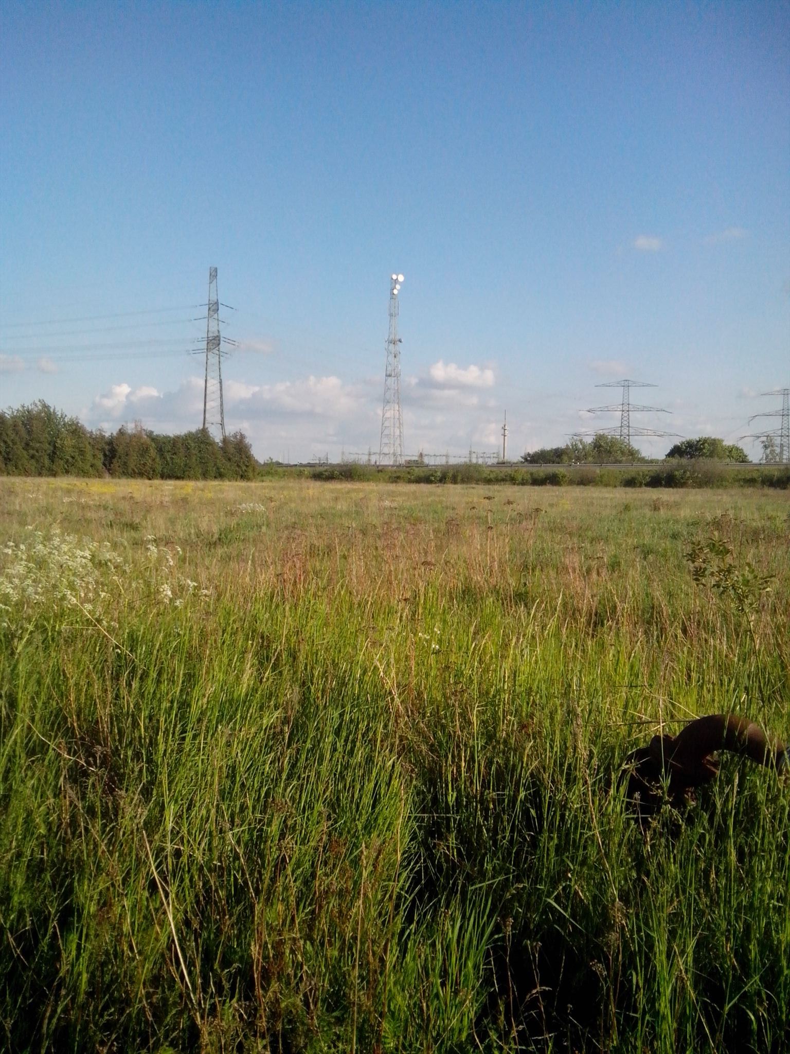
Verkehr ... hohe Türme, Masten und Trassen lassen es ahnen. Weiter weg, doch noch gut erkennbar, die St. Jacobikirche zu Perleberg. Bis zur Wende das höchste Wahrzeichen der Rolandstadt. Die Grundsteinlegung wird in der ersten Hälfte des 13. Jahrhunderts vermutet. |
 |
OC10F64
![]() Additional hint
Additional hint
![]() Decrypt
Decrypt
frpufgrecsnuy
A|B|C|D|E|F|G|H|I|J|K|L|M
N|O|P|Q|R|S|T|U|V|W|X|Y|Z
![]() Pictures
Pictures
![]() Utilities
Utilities
 Search geocaches nearby:
all -
searchable -
same type

 Download as file:
GPX -
LOC -
KML -
OV2 -
OVL -
TXT -
QR-Code
 When downloading this file, you accept our terms of use and Data license.
![]() Log entries for hotspot
Log entries for hotspot
![]() 2x
2x
![]() 1x
1x
![]() 0x
0x
![]() 4x
4x
 30 March 2025
westprignitz
has maintained the cache
alles ok
![]() New coordinates:
N 53° 05.533' E 011° 50.933',
moved by 98 meters
New coordinates:
N 53° 05.533' E 011° 50.933',
moved by 98 meters
 06 March 2023, 12:11
fylo
did not find the geoacache
Leider nichts zufrieden.
 28 June 2020, 16:01
Team Kittifix
found the geocache
Am 22.11.2019 über geocaching.com gesucht, gefunden und geloggt.
 04 June 2020
westprignitz
has maintained the cache
 09 April 2020
westprignitz
has disabled the cache
Die Rechtslage zur Coronakrise lässt für mich nur einen Schritt zu.
Ich werde meine Caches vorübergehend ab sofort disablen.
Fundlogs werden gelöscht!


 Germany > Brandenburg > Prignitz


 Size: micro
 Status: Available
 Time required: 0:10 h
 Hidden on: 15 May 2014
 Listing: https://opencaching.de/OC10F64
 Also listed at:
  2 Found
 1 Not found
 0 Notes
 4 Maintenance logs
 0 Watchers
 0 Ignorers
 22 Page visits
 0 Log pictures
