|
|
||||
|
|||||
| Dangers |

|
| Time |

|
| Seasonal |

|
| Preparation needed |

|
![]() Description
Deutsch
· English
Description
Deutsch
· English
Mauerley |
||||||||
|
|
||||||||
|
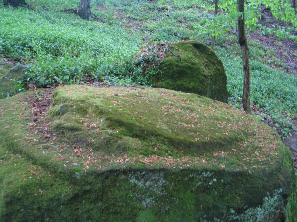
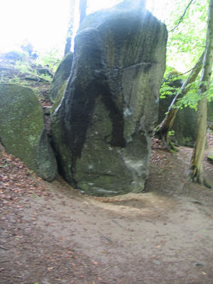
Along the lava flow Glees Creek was forced to dig a new bed. Caused by the attack of the water, the resulting slope and the shift from frost and high temperatures during the ice ages, triggered in large batches from the edge of the Mauerley. This slid down in the valley and now form large block fields. The accessibility of the material, its
horizontal and vertical layout as well as the arising of some
striking high porosity, processability caused to the people here
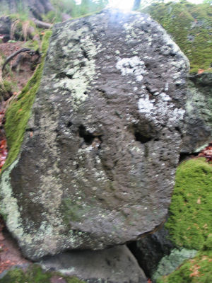
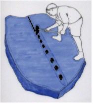
to The technique of wedge-cleavage (Keilspaltung) (see drawing) is known in the East Eifel since the Roman period around 2000 years ago. It has changed over the centuries. Thus give the different degradation traces references to the age of the individual fractions. Hand made holes are characterized since 19 Century. These were used either for the wedge-shaped gap or, more often than preparing explosives. Today, the legacies of the Roman workers are discovering.
|
||||||||
|
|
||||||||
|
Please send the answers with this form. |
![]() Utilities
Utilities
This geocache is probably placed within the following protected areas (Info): Landschaftsschutzgebiet Rhein-Ahr-Eifel (Info)
 Show cache recommendations from users that recommended this geocache: all
 Search geocaches nearby:
all -
searchable -
same type

 Download as file:
GPX -
LOC -
KML -
OV2 -
OVL -
TXT -
QR-Code
 When downloading this file, you accept our terms of use and Data license.
![]() Log entries for Mauerley
Log entries for Mauerley
![]() 22x
22x
![]() 0x
0x
![]() 0x
0x
 07 May 2021
filser1
found the geocache
Das Brohltal hoch, gibt es einiges zu sehen. Ein Besuch der Mauerley war ein Höhepunkt des Tages. Was frühere Generationen so alles mit der Körperkraft und einfachen Werkzeugen herstellen konnten, ist schon beeindruckend.
T4TC Filser1
 01 January 2017
Die Asbacher Bande
found the geocache
Wir danken fürs Herloggen, das war ein sehr schöner Spaziergang mit viel Sonne und einem interessanten Ziel .
Grüße
DAB
 30 July 2016, 20:16
kerdir
found the geocache
Freitagmorgen sind wir aufgebrochen um zum event Nacht der Vulkane zu fahren. Da wir hier auch gleich bis Sonntag einen Kurzurlaub machen und beim laufen in der Natur auch gut entspannen kann sollten hier auch hauptsächlich EC besucht werden. So wie dieser cache. Nach dem wir bilder vom ort gemacht hatten und alles nötige recherchiert hatten bleibt nur das loggen und die mail an den Owner.
Vielen dank für diesen lehrreichen earthcache.
Mail ist raus an den Owner wurde über gc übermittelt
 26 July 2016
Raistlin_Storm
found the geocache
An zwei Wochenenden hinter einander MEGA-Events? Da bleibt dann doch glatt die Ganze Woche vor Ort!
Vor Monaten hatte ich schon das Hotel gebucht, etwas ausserhalb von Koblenz zwar, aber immer noch Zentral genug!
Heute ging es mit Waldfee und libby.de auf T5-Tour zwischen Koblenz und Mendig, wobei alles nicht zu schaffen ist also sucht man schon die vermeintlichen Highlights raus, und nicht nur Bäume ;-)
Und nach einem anstregnden T5-Tag - ein bisschen Erholung!
Daher haben Wir in allerruhe noch den einen oder anderen Multi bzw. EC am und um den Laacher See gemacht!
Danke fürs legen und Pflegen!!
 24 December 2015
HollyMollyBande
found the geocache
Mist. Ich hab gedacht, wir wären die ersten, die bei diesem Earthcache ihren Misserfolg protokollieren. Aber Cacheferkel kam uns mit exakt der gleichen Ausrede zuvor. Trotz langem Suchen hielt sich der letzte Römer auch vor uns erfolgreich versteckt.
<br><br>
Aber natürlich trotzdem eine interessante Location, an der wir uns dann etwas länger aufgehalten haben. Und mit Hilfe des Owners weiß ich natürlich jetzt auch, wo ich beim nächsten Mal den letzten Römer suchen muss. TFTC!


 Germany > Rheinland-Pfalz > Ahrweiler


 Size: no container
 Status: Available
 Time required: 0:45 h
 Route: 1.0 km
 Hidden on: 11 May 2010
 Listing: https://opencaching.de/OCA4FF
 Also listed at:
  22 Found
 0 Not found
 0 Notes
 1 Watcher
 0 Ignorers
 263 Page visits
 7
7 


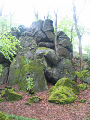
 mine stonesagain and
again . The most intensive use of the Mauerley learned during the
Roman period. Older degradation is not known, recent work traces
from the Middle Ages and modern times are in addition to the Roman
vanishingly small.