| Lingua: |


|
Nazione: |


![]()
 Germania > Niedersachsen > Osnabrück, Kreisfreie Stadt
Attenzione! Questa geocache è "archiviata"! Non c'è un contenitore fisico alle coordinate specificate (o a quelle che devono essere determinate). L'interesse del luogo non è necessariamente la ricercare!
|
|
||||
|
|||||


 Dimensioni: nessun contenitore
 Stato:
  Nascosta il: 08. dicembre 2009
 Pubblicata anche su:
  18 trovata
 0 non trovata
 0 Note
 1 Log manutenzione
 1 Osservatore
 1 Ignorata
 1050 Pagina visite
 13
13 

![]() Descrizione
Deutsch
· English
(Inglese)
Descrizione
Deutsch
· English
(Inglese)
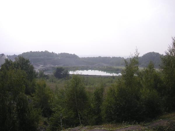
The Piesberg is a mountain in Osnabrück (Lower Saxony) and North
of Eversburg and East from Pye and on the South Rim of community
Wallenhorst ( a part of the Piesberg belongs to Wallenhorst).
His Height is 188 meters above sea level.
His Development is due to the carbon-age. 300 million years ago the area was a large coastal plain over long periods of time was bathed by large, branched Riversystems. Deposite these rivers large amounts of coarse sands and sometimes gravel, the later were strengthened particularly hard sandstone and conglomerate (from gravel). In Phases of higher groundwater levels (which probably associated with sea fluctuations), also sound were emerging in slower flowing water, the so-called shale was later. Temporarily developed also a real swamp forest, whose remains today both as bed of coals to find are (compressed plant material), on the other hand, as various Plant fossils in the shale.
Which layers of earth of the following Triassic overlayed these rocks of Karbons the Osnabrücker mountains raised up by forces from the Earth's interior was. May mountains where arose under the Northern Osnabrück also a " Magma bubble"- a so-called Pluton. The properties of coal and the sandstone draw attention to a strong heating. By erosion, were the old inter alia by the ice age glaciers rock layers again exposed.
The Name Piesberg can be attributed it, the mountain earlier to the village Pye belonged. It was therefore " Pyes mountain", what later became Piesberg. Most Piesberg is the hard sandstone today in a large quarry (also called carbon-Quarzit) mined.
THEREFORE ENTER THE SITE OF STONE PIT WITHOUT A SPECIAL PERMIT IS ALSO PROHIBITED!Which now closed landfill at southfacing of Piesberges was in a
created former quarry. You can find the Piesberge-sandstone in
Osnabrück city on some buildings and especially as paving
stone.
Coal was mined until 1952 until 1898 and very weak (to
Lifaqane).
Log condition Photo with you or GPS. (Spoiler) Email solution
At times of the depth losses were It 2 vertical tunnel named in
the Piesberg. One is called Stüveschacht. The other was 92 m deep.
What Name is the other vertical tunnel? How deep was the
Stüveschacht (in Meters)?
Name.Tiefe@C-A-C-H-I-N-G.com (Example:
Klausenschacht.152@C-A-C-H-I-N-G.com)
![]() Utilità
Utilità
Questa geocache probabilmente è situata in una riserva naturale (Info): Landschaftsschutzgebiet Naturpark Nördlicher Teutoburger Wald - Wiehengebirge (Informazioni), Naturpark Nördlicher Teutoburger Wald-Wiehengebirge NI (Informazioni)
 Cerca geocache vicine:
tutte -
ricercabile -
stesso tipo
Cerca geocache vicine:
tutte -
ricercabile -
stesso tipo
 Scarica come file:
GPX -
LOC -
KML -
OV2 -
OVL -
TXT -
QR-Code
Scarica come file:
GPX -
LOC -
KML -
OV2 -
OVL -
TXT -
QR-Code
 Scaricando questo file accetti i nostri termini di utilizzo e la Licenza dati.
![]() Log per Piesberg
Log per Piesberg
![]() 18x
18x
![]() 0x
0x
![]() 0x
0x
![]() 1x
1x
 06. marzo 2014
Tronje the Falconer
ha archiviato la cache
06. marzo 2014
Tronje the Falconer
ha archiviato la cache
Wie auch bei GC.com sollte dieser hiermit auch archiviert werden
 24. febbraio 2014
ScopesX
ha trovato la geocache
24. febbraio 2014
ScopesX
ha trovato la geocache
Heute bei schönem Wetter den freien Tag mit einer (Cache)Runde um und auf den Piesberg gemacht. Dabei hier vorbeigeschaut. Mit dabei Lucy on Tour.
Danke sagt ScopesX

 .
.
02. novembre 2011
Pingu_1999
ha trovato la geocache
Das anreisen war nicht ganz einfach
dann aber eine tolle Aussicht gehabt und ein Foto geschoßen
TFTC
Piesberg
 (Spoiler)